Remote Sensing Training in West Africa
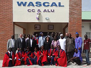
In the course of a project WASCAL (West African Science Service Center for Climate Change and Adapted Land Use) funded by the German Federal Ministry of Education and Research, the Chair of Remote Sensing at the University of Würzburg carries out various activities for the education of West African Master students and PhD students.
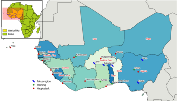
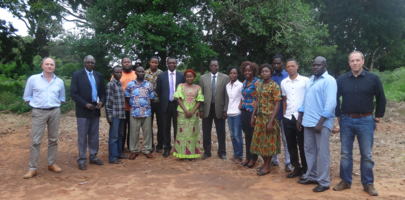
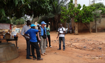
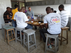
These teaching activities take our lecturers to Ghana, Togo, Burkina Faso, Mali and Nigeria. There, the teaching takes place over a period of one to three weeks. The theory of satellite image processing is taught as well as its practical implementation using open source software. Depending on the main topic, field visits are carried out.
Teaching in West Africa
The focus of the teaching units depends on the focus of the West African universities: "Geographic Information Systems and Remote Sensing" as well as "Advanced Remote Sensing" in Kumasi (Ghana), "Applied Remote Sensing" as well as "Land Use Dynamics and Modeling" in Minna (Nigeria), "Mapping of Agricultural Use" in Katibougou (Mali) and "Earth Observation Techniques in Disaster Management" in Lomé (Togo). So far, these courses have been held irregularly. Since local experts are lacking, especially when it comes to the use of open source software, a continuation of the teaching is desired by our partners in West Africa. Currently, WASCAL is evaluating possibilities for its implementation.
Training in the Application of Remotely Sensed Data
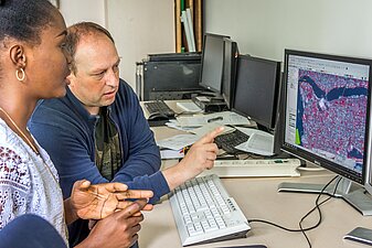
The curriculum provides for direct practical application of the subject matter. This is usually done on the computer or on the student's own laptop. For PhD students there is also the possibility of a six-month stay at the Chair of Remote Sensing to deepen the teaching content and to gain further practical experience in exchange with colleagues. In addition, there is a very close exchange between the Chair of Remote Sensing and the PhD students, especially with regard to the development of their research topic.
Contact & Links
Dr. Michael Thiel holds a degree in Applied Environmental Science from the University of Trier, Germany. In 2013, he received his PhD from the University of Jena on the use of texture information of high-resolution SAR data to describe settlement areas. As a research associate at the Chair of Remote Sensing at JMU, he is currently researching and teaching on land use in West Africa.
WASCAL – West African Science Service Center for Climate Change and Adapted Land Use


